rareoldprints.com
Search
If you know the reference number
enter it here:
If you enter more than one word
it will be treated as
phrase
.
Insert
"and"
or
"or"
between words to search for
the words in any order
.
Refine your search
here or
build another search.
Displaying
10
to
20
of
28
-
Next
-
Previous
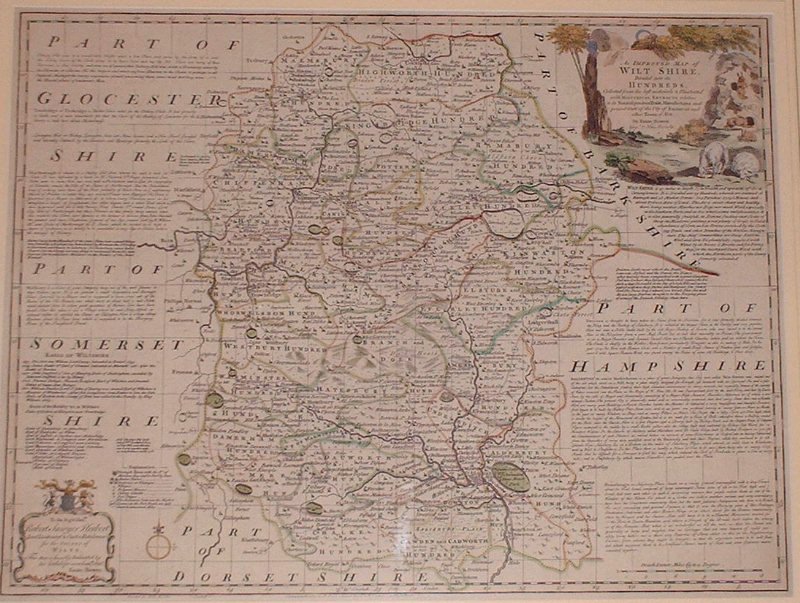
An Improved Map of Wiltshire Divided into its Hundreds
Ref:
P/8019
Region:
Wiltshire
Type: Copper
Cartographer:
Bowen E
Engraver:
Bowen E
Publisher:
John Bowles... & Robt. Sayer
Date:
1765
Not for sale
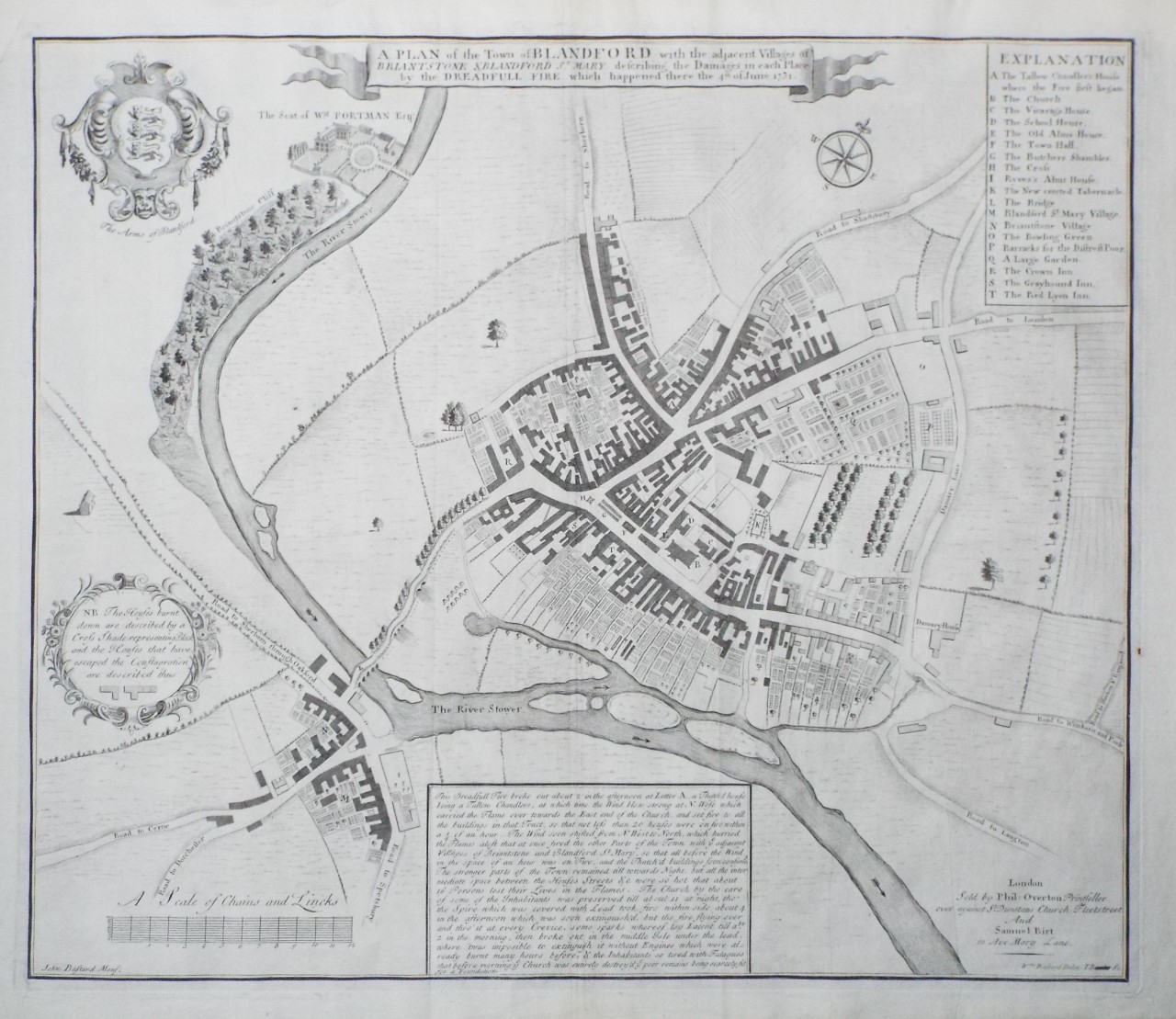
A Plan of the Town of Blandford with the adjacent Villages of Briantstone & Blandford St. Mary describing the Damages in each Place by the Dreadfull Fire which happened there the 4th of June 1731.
Ref:
P/29138
Region:
Blandford
Type: Copper
Cartographer:
Bastard W
Engraver:
Bowles T
Publisher:
London. Phil Overton & Samuel Birt
Date:
1731
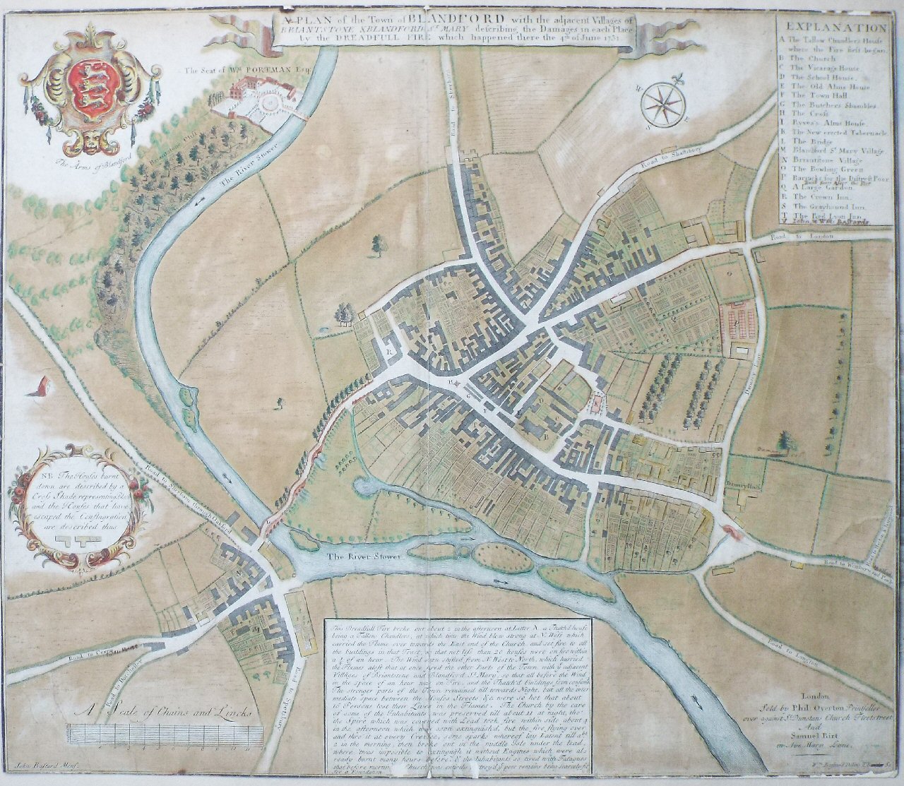
A Plan of the Town of Blandford with the adjacent Villages of Briantstone & Blandford St. Mary describing the Damages in each Place by the Dreadfull Fire which happened there the 4th of June 1731.
Ref:
P/13859
Region:
Blandford
Type: Copper
Cartographer:
Bastard W
Engraver:
Bowles T
Publisher:
London. Phil Overton & Samuel Birt
Date:
1731
Sold
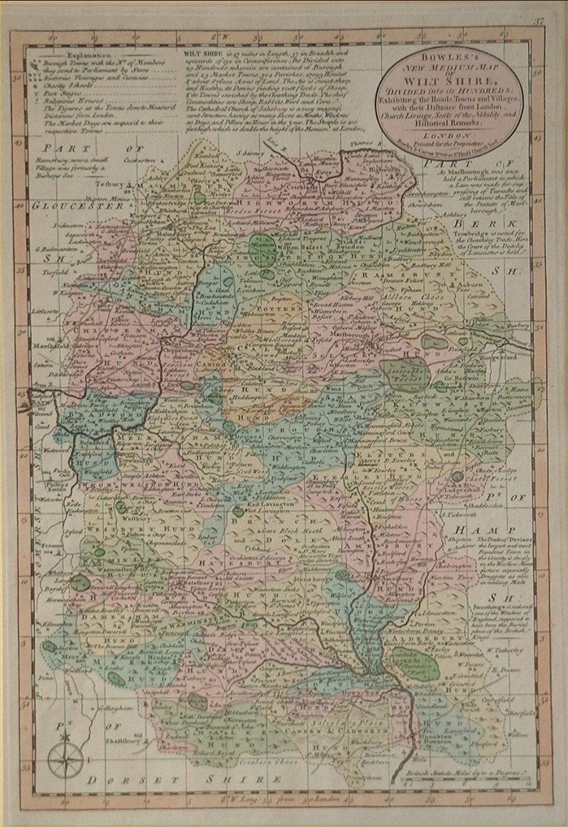
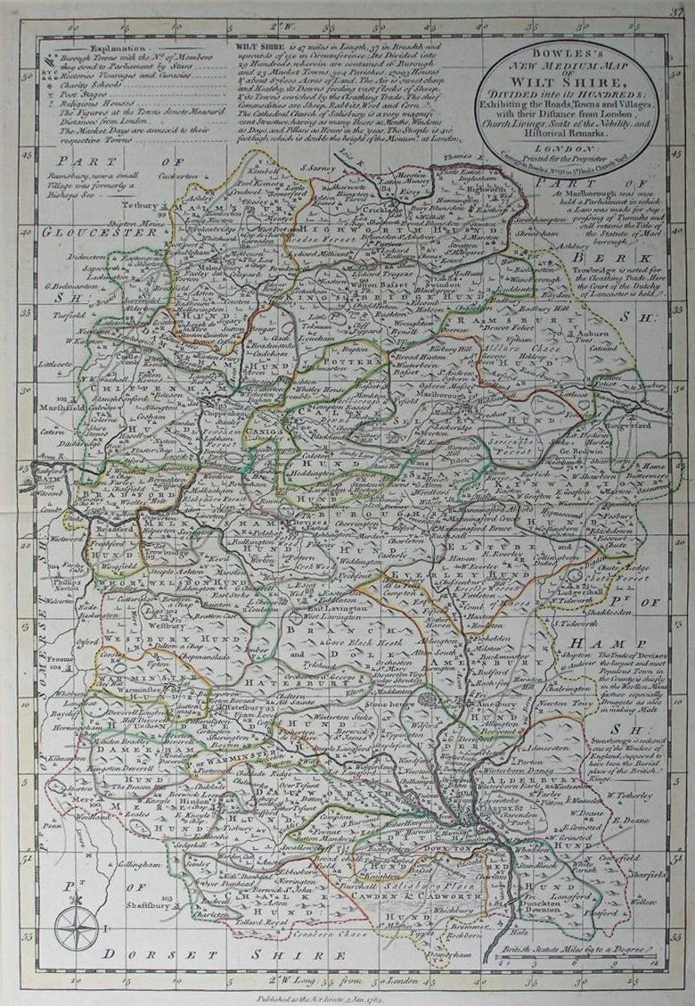
Bowles's New Medium Map of Wiltshire
Ref:
P/8020
Region:
Wiltshire
Type: Copper
Cartographer:
Bowen E
Engraver:
Bowen E
Publisher:
Bowles & Carver
Date:
1794
Not for sale
Bowles's New Medium Map of Wiltshire
Ref:
P/8023
Region:
Wiltshire
Type: Copper
Cartographer:
Bowen E
Engraver:
Bowen E
Publisher:
Carrington Bowles
Date:
1785
Not for sale
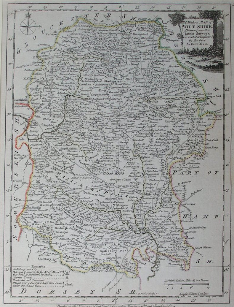
A Modern Map of Wilt Shire Drawn from the latest Surveys Corrected & Improved by the best Authorities
Ref:
P/8011
Region:
Wiltshire
Type: Copper
Cartographer:
Ellis J
Engraver:
Fowler W
Publisher:
Carington Bowles & Robert Sayer
Date:
1768
Not for sale
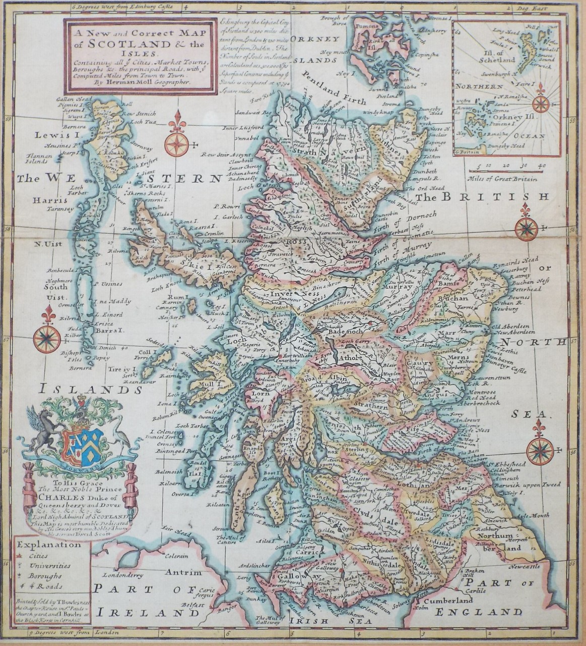
A New and Correct Map of Scotland & the Isles. Containing all ye Cities, Market Towns, Boroughs &c. the principal Roads, with ye Computer Miles from Town to Town.
Ref:
P/29370
Region:
Scotland
Type: Copper
Publisher:
T. Bowles & J. Bowles
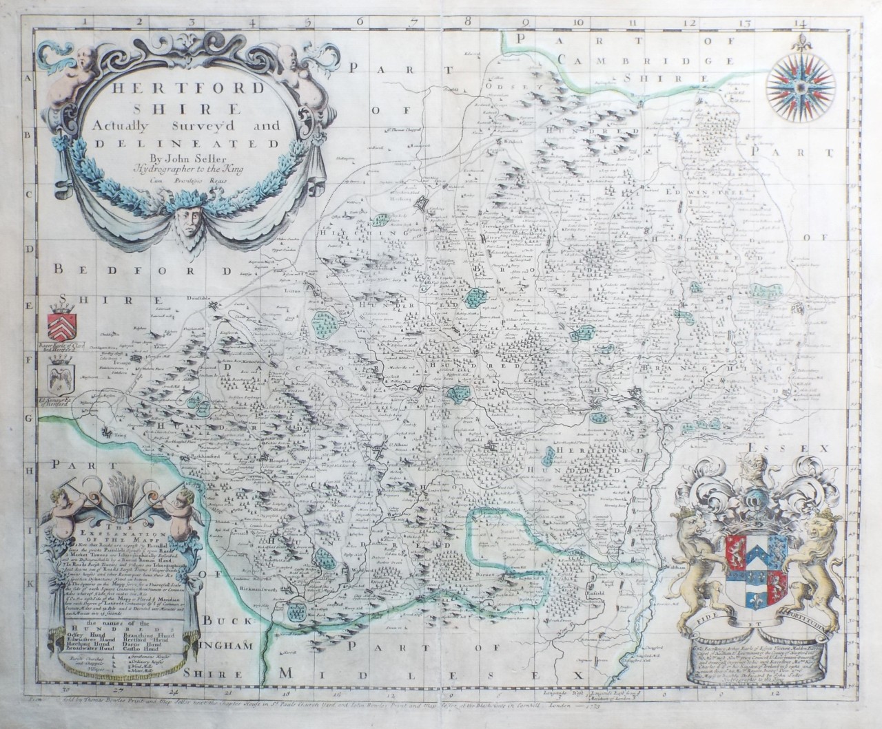
Hertfordshire
Ref:
P/4425
Region:
Hertfordshire
Type: Copper
Cartographer:
Seller J
Engraver:
Seller J
Publisher:
John Bowles
Date:
1733
Offers considered
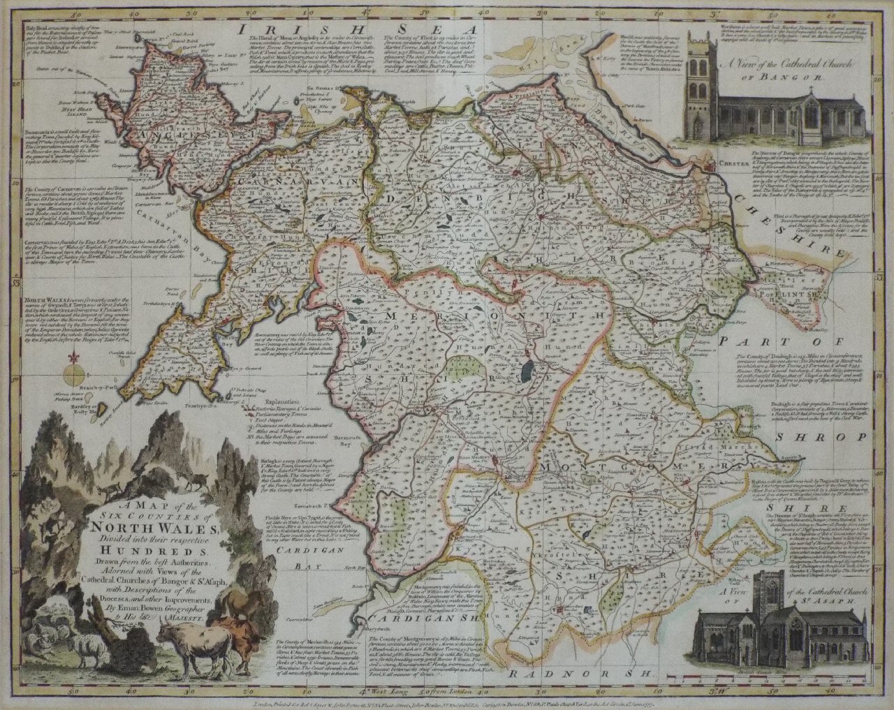
A Map of the Six Counties of North Wales, Divided into their respective Hundreds
Ref:
P/15250
Region:
North Wales
Type: Copper
Cartographer:
Bowen E
Engraver:
Bowen E
Publisher:
Robt. Sayer, John Benett, John Bowles Carington Bowles
Date:
1777
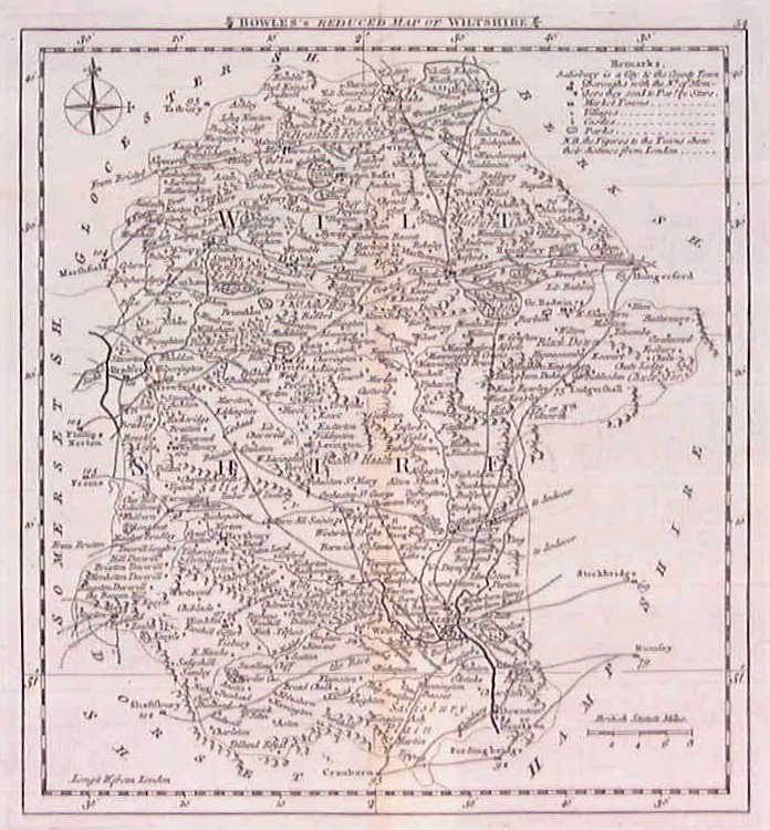
Bowles's Reduced Map of Wiltshire
Ref:
P/8024
Region:
Wiltshire
Type: Copper
Cartographer:
Kitchin T
Publisher:
Bowles
Date:
1778
Not for sale
Displaying
10
to
20
of
28
Next
Previous